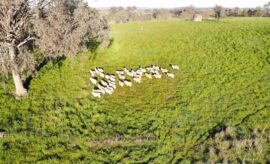
Agriculture is playing catchup when it comes to collecting and using big data but an agtech explosion on land and in the air is driving the industry forward.
Farming:on the land and in the sky


Agriculture is playing catchup when it comes to collecting and using big data but an agtech explosion on land and in the air is driving the industry forward.