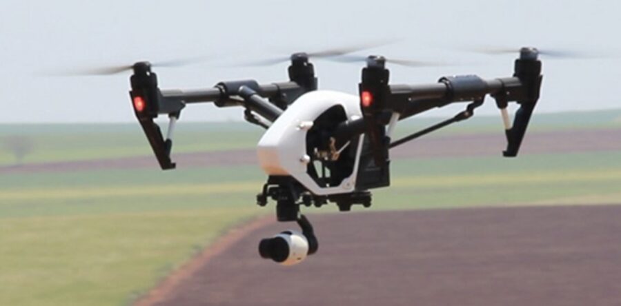
Data collection, surveying and creating maps and models can be a complicated process. This new course will provide a framework and example data to assist you to streamline this and is a great next step for those who have completed the Drones in Agriculture course.
To register visit the Tocal Website or download the course brochure
| Location | Online Access | Workshop |
|---|---|---|
| Yanco | 4 Aug 2022 | 18 Aug 2022 - DONE |
| Narromine | 21 Sept 2022 | 14 Sept 2022 - DONE |
| Molong | 1 Sept 2022 | 15 Sept 2022 - DONE |
| Glen Innes | 26 Sept 2022 | 10 Oct 2022 - DONE |
| Walcha | 27 Sept 2022 | 11 Oct 2022 - DONE |
| Scone | 28 Sept 2022 | 12 Oct 2022 - DONE |
| Oberon | 11 Oct 2022 | 25 Oct 2022 - DONE |
| Cowra | 12 Oct 2022 | 26 Oct 2022 - DONE |
| Mudgee | 13 Oct 2022 | 27 Oct 2022 - DONE |
| Coffs Harbour | 25 Oct 2022 | 8 Nov 2022 - DONE |
| Port Macquarie | 26 Oct 2022 | 9 Nov 2022 - DONE |
| Paterson | 27 Oct 2022 | 10 Nov 2022 - DONE |
| Singleton | 28 Oct 2022 | 11 Nov 2022 - DONE |
| More to come 2023 |


