
NEXT 2 DAY COURSE - INDUSTRY TRAINING IN DECEMBER 2022 precision plus ultrasound scanning december flyerDownload
Read more
Farm Mapping and Data Collection with Drones now available
Data collection, surveying and creating maps and models can be a complicated process. This new course will provide a framework and example data to assist you to streamline this and is a great next step for those who have completed the Drones in Agriculture course. To register visit the Tocal Website or download the course…
Read more
June 2022 with Bralca
As we near the end of June we have been reflecting on some of the beautiful places we have been able to work this month! June saw the Bralca team spread throughout NSW & NT. We love being able to support rural communities in the areas we are travelling. Check out some of the great…
Read more
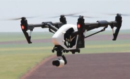
Using a drone to create an accurate farm map
DRONING ON: An example of a base map, plant health map and an elevation map. The green on the plant health map indicates areas of good growth. Using a drone to create an accurate farm map | The Land | NSW Drones and supporting software have developed rapidly in recent years and it is now…
Read more