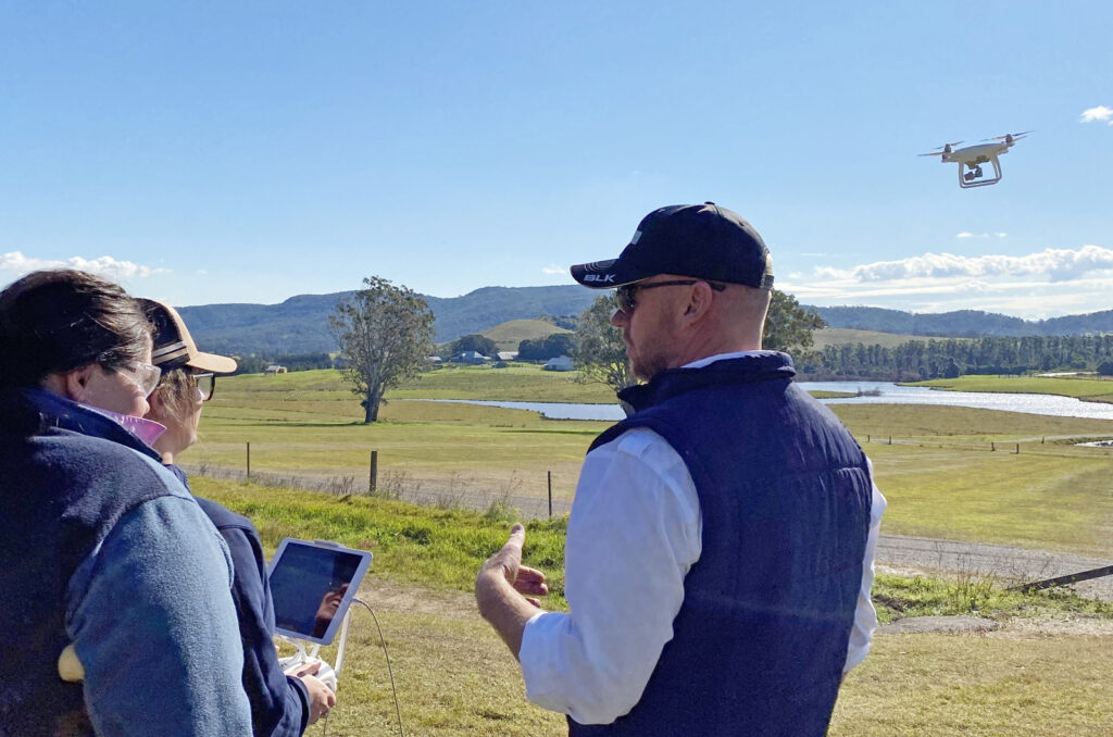
Bralca has partnered with Tocal College to offer fully funded accredited Drone Training.
Designed by production managers and agronomists to support land managers. Our experienced industry specialists will teacher you how to convert images into high resolution geo referenced land maps, crop maps and elevation models. Note it is strongly advised you complete the Drones in Agriculture course first so you have all the basics of setting up and using your drone.
- Safe collection of crop production and map data
- Geographic Information System (GIS) mapping
- Processing map data to create useful production maps
- Analysis and decision making using the maps
- Exporting data for use in operations such as spray maps or variable rate sowing plans.
Interested? Compete an application form using the links below. We use these to collate people into groups and align our delivery to your interest area.
If you have questions or are looking for more targeted training for your team, speak with us:
Ph: Brooke on 0475421762 or
Email: teambralca@gmail.com
| Date | Location | Apply By |
|---|---|---|
| 24th October | Glen Innes | Applications Closed |
| 15th November | West Wyalong | Applications Closed |
| 7th December | Tumbarumba | Applications Closed |
| 12th December | West Wyalong | Applications Closed |
| 13th December | Toongi | Applications Closed |
| 14th December | Rylestone | Applications Closed |
If you have a group of 12 or more, speak to our team who can help to bring this training into your district