
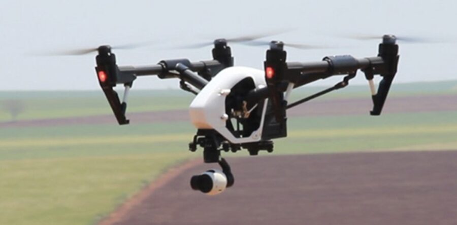
Bralca has partnered with Tocal College and NSW Farmers to offer fully funded accredited Drone Training. Designed for land managers by land managers and supported by NSW Farmers. Our experienced drone operators and trainers travel all of NSW to deliver this course to you. Setup and use your drone How to control your drone -…
Read more
2023 Drone Farm Mapping and Data Collection Courses
Bralca has partnered with Tocal College to offer fully funded accredited Drone Training. Designed by production managers and agronomists to support land managers. Our experienced industry specialists will teacher you how to convert images into high resolution geo referenced land maps, crop maps and elevation models. Note it is strongly advised you complete the Drones…
Read more
The opportunities for Drone use are endless
Ben Watts and Jack Underwood Interview with 2bs 95.1 - 12th October 2022 Ben Watts holding a small drone
Read more
Farm Mapping and Data Collection with Drones now available
Data collection, surveying and creating maps and models can be a complicated process. This new course will provide a framework and example data to assist you to streamline this and is a great next step for those who have completed the Drones in Agriculture course. To register visit the Tocal Website or download the course…
Read more